This was a random hike in the Palca valley. I wanted to explore the area and find alternative routes. I have an old map that shows a path starting off the Palca road. None of my new mobile or other maps show this path so I decided to try it out.
Day 1:
I took a mini-bus to the village of Huni which is situated just beyond the pass. The map indicated that the path should start a couple of kilometers from Huni so I walked onwards from Huni on the main road.
Half an hour later I found the path and started uphill.
 |
| The path |
 |
| The Palca road further down. |
The path is easy although the altitude makes it a hard walk.
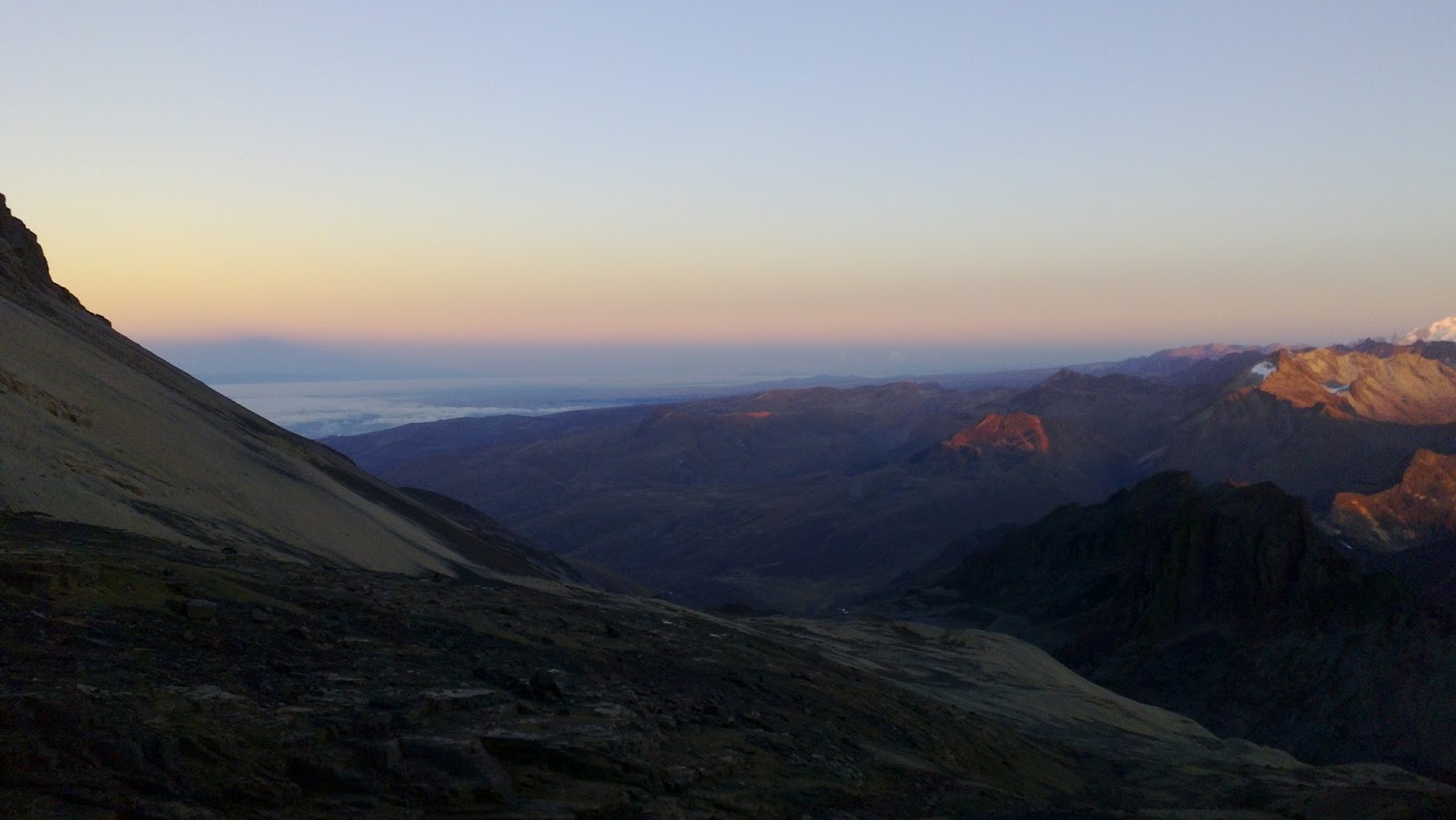
 |
| Nice views on the ridge. Unfortunately the mountain Illimani was covered by clouds. |
 |
| The path going up. |
Basically you have 3 options to end up in the Choquecota valley. The photo below show the 3 options: the valley on the right (it has a road), the center one is called Hampaturi and the one I took staying up on the ridge.
 |
| The 3 valleys |
 |
| Relax in the sun |
I split off the path at the end of the valley and crossed east. I tried going around the ridge on the photo below from the right side, but it was not possible. However on the left was easy. The next valley is a very quiet and beautiful place with a small stream on the bottom of it.
 |
| Off the path. From here on no more path. The way I took goes on the left of the ridge in front. |
The valley was empty. I was alone. In the other end I finally saw the lake Chuxna Quta where I had planned to camp for the night.
 |
| Finally at the lake Chuxna Quta. |
Just before arriving at the lake a local farmer came running towards me. He asked where I had come from. I explained and then asked in turn: Not many people coming this way? You are the first, he replied.
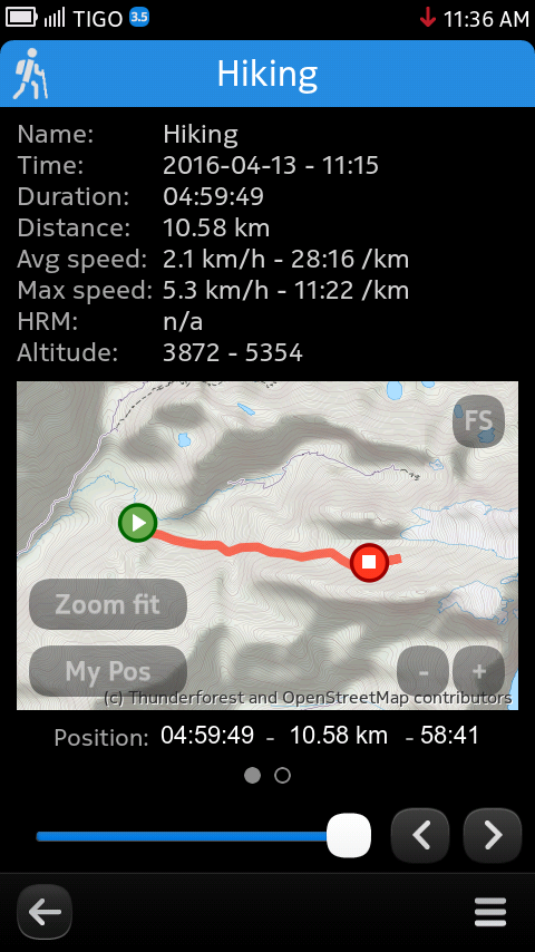
I put up the tent and went almost immediately to bed since I was very tired after the 9 hour hike.
Day 2:
I was thinking of maybe continuing to the Takesi Inca Trail the next day, but I felt sore. The weather was not too good either so I decided to head for Choquecota and find a ride back to La Paz.
 |
| Farming is far from trivial here. |
I headed down the road towards Choquecota village. On the road I met a farmer and we walked together towards Choquecota. He showed me a shortcut off the main road and we went down it.